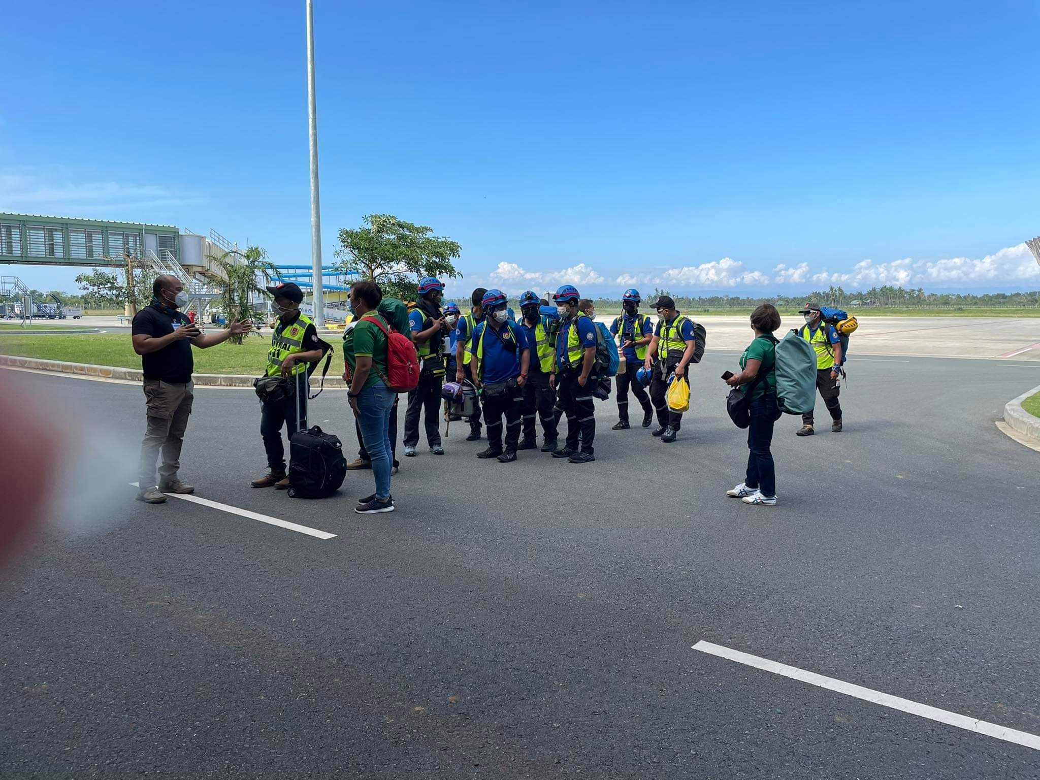
By Marisol Bo-oc | 01:51 PM October 28, 2022

The state meteorologists on Friday, Oct. 28, hoisted Tropical Cyclone Wind Signal No. 1 in Bohol province due to Tropical Storm Paeng.
In its latest advisory, the Philippine Atmospheric, Geophysical and Astronomical Services Administration (Pagasa) said Bohol and several areas in Luzon and Visayas were put under Wind Signal No. 1, where strong winds of 39 to 61 kilometers per hour (kph) wind is expected.
TCWS No. 1:
Wind threat: Strong winds
Warning lead time: 36 hours
Potential impacts of winds: Minimal to minor threat to life and property
Luzon:
Metro Manila, Bataan, Pampanga, Bulacan, the southeastern portion of Tarlac (Concepcion, La Paz), the central and southern portions of Nueva Ecija (City of Gapan, San Leonardo, Santo Domingo, Rizal, San Isidro, Laur, Zaragoza, Llanera, Aliaga, Palayan City, Gabaldon, General Mamerto Natividad, Cabanatuan City, Quezon, San Antonio, General Tinio, Santa Rosa, Pe, Jaen, Licab, Bongabon, Cabiao, Talavera), the southern portion of Aurora (Dingalan, San Luis, Maria Aurora, Baler), Cavite, Laguna, Batangas, Rizal, the rest of Quezon including Pollilo Islands, Occidental Mindoro including Lubang Islands, Oriental Mindoro, Romblon, and Calamian Islands
Visayas:
The rest of Leyte, Southern Leyte, the northern and central portions of Cebu (Daanbantayan, Medellin, San Remigio, Tabogon, City of Bogo, Borbon, Tabuelan, Sogod, Catmon, Tuburan, Carmen, Danao City, Asturias, Balamban, Compostela, Liloan, Cebu City, Mandaue City, Consolacion, Toledo City, City of Talisay, City of Naga, Pinamungahan, Minglanilla, Aloguinsan, San Fernando, City of Carcar, Barili, Sibonga, Dumanjug, Argao, Alcantara, Moalboal, Ronda, Badian, Dalaguete, Lapu-Lapu City, Cordova) including Bantayan and Camotes Islands, Bohol, the northern and central portions of Negros Occidental (Sagay City, Cadiz City, City of Escalante, Manapla, Enrique B. Magalona, City of Victorias, Silay City, City of Talisay, Murcia, Bacolod City, Bago City, Pulupandan, Valladolid, La Carlota City, La Castellana, San Enrique, Pontevedra, Hinigaran, Moises Padilla, Isabela, San Carlos City, Salvador Benedicto, Calatrava, Toboso, Binalbagan, City of Himamaylan), the northern portion of Negros Oriental (City of Guihulngan, Vallehermoso, Canlaon City, La Libertad, Jimalalud, Tayasan), Guimaras, Aklan, the northern and central portions of Antique (Libertad, Pandan, Sebaste, Culasi, Tibiao, Barbaza, Laua-An, Bugasong, Valderrama, Patnongon, San Remigio, Caluya Islands), Capiz, and the northern and central portions of Iloilo (Calinog, New Lucena, Maasin, Estancia, Batad, Oton, Concepcion, Pavia, Duelas, Balasan, Barotac Nuevo, Ajuy, Iloilo City, Anilao, San Dionisio, San Miguel, Mina, Santa Barbara, Barotac Viejo, Leganes, Carles, Dingle, Zarraga, Bingawan, Cabatuan, Alimodian, Dumangas, San Rafael, San Enrique, Badiangan, Banate, City of Passi, Pototan, Lambunao, Lemery, Sara, Janiuay, Leon, Tigbauan, Tubungan, Igbaras, Guimbal)
Mindanao:
Dinagat Islands, Surigao del Norte including Siargao and Bucas Grande Islands, the northern portion of Surigao del Sur (Carrascal, Cantilan, Madrid, Carmen, Lanuza, Cortes, City of Tandag, Bayabas, Tago, Cagwait) and the northern portion of Agusan del Norte (Kitcharao, Jabonga, Santiago)
TCWS No. 2
Wind threat: Gale-force winds
Warning lead time: 24 hours
Potential impacts of winds: Minor to moderate threat to life and property
Luzon:
Catanduanes, Albay, Sorsogon, Masbate including Ticao and Burias Islands, Camarines Sur, Camarines Norte, the central and southern portions of Quezon (Atimonan, Pagbilao, Padre Burgos, Agdangan, Unisan, Plaridel, Gumaca, Pitogo, Macalelon, General Luna, Catanauan, Lopez, Calauag, Quezon, Alabat, Perez, Tagkawayan, Guinayangan, Buenavista, Mulanay, San Narciso, San Andres, San Francisco), and Marinduque
Visayas:
Northern Samar, Eastern Samar, Samar, the northeastern portion of Leyte (Tacloban City, Babatngon, San Miguel, Barugo), and Biliran
The center of Tropical Storm “Paeng” was estimated based on all available data at 220 km East Northeast of Borongan City, Eastern Samar or 305 km East of Catarman, Northern Samar (12.1°N, 127.4°E)
It has a.maximum sustained winds of 75 km/h near the center, gustiness of up to 90 km/h, and central pressure of
992 hPa.
On Friday, heavy to intense with at times torrential rains likely over Bicol Region and Eastern Visayas. Moderate to heavy with at times intense rains over Quezon, MIMAROPA, Caraga, Zamboanga Peninsula, BARMM, Northern Mindanao, and the rest of Visayas. Light to moderate with at times heavy rains possible over Metro Manila, Cagayan Valley, Aurora, and the rest of CALABARZON and Mindanao.
On Saturday, Heavy to intense with at times torrential rains likely over CALABARZON, Bicol Region, Aurora, Isabela, Nueva Vizcaya, and Quirino. Moderate to heavy with at times intense rains over Metro Manila, mainland Cagayan, Cordillera Administrative Region, Western Visayas, Marinduque, Romblon, Mindoro Provinces, and the rest of Central Luzon. Light to moderate with at times heavy rains possible over Zamboanga Peninsula and the rest of Luzon and Visayas.
Under these conditions, flooding and rain-induced landslides are expected, especially in areas that are highly or very highly susceptible to these hazard as identified in hazard maps and in localities with significant antecedent rainfall.
Heavy rain areas may be updated in the succeeding bulletins should there be significant shifts in the track and intensity forecast of Paeng.